Transit Adjacent Development and Neighborhood Change in Houston

REPORT : Dec. 11, 2019 TRANSPORTATION | URBAN PLANNING

Houston Metro light rail

Texas Watchdog/flickr

This study explores how land use has changed between 2010 and 2016 in transit adjacent development (TAD) areas of Harris County, defined as census block groups within one mile of light rail stations, transit centers, and Park & Ride locations.

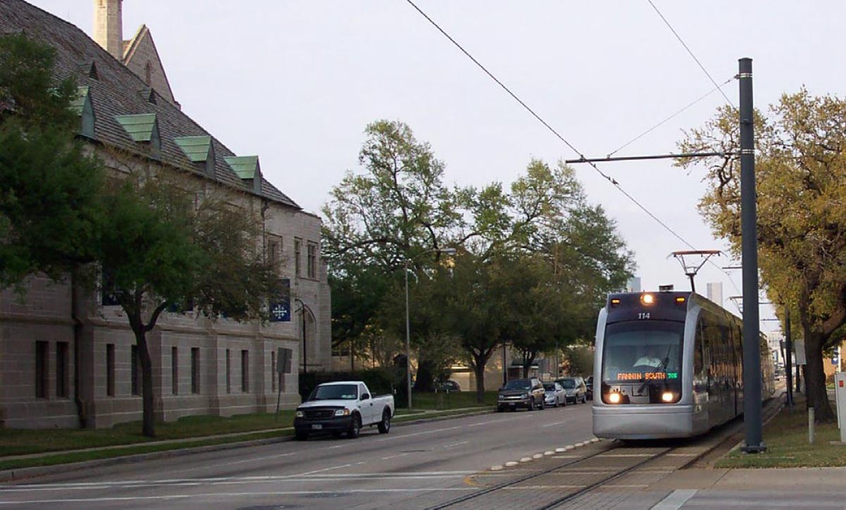
This study explores how land use has changed between 2010 and 2016 in Harris County's transit adjacent development (TAD) areas, which are census block groups within one mile of light rail stations, transit centers, and Park & Ride locations.

Overall, we find changes in transit-adjacent neighborhoods are most dramatic in areas that are experiencing or are likely to experience gentrification, according to previous Kinder Institute research. Additionally, the neighborhoods are more likely to become more residential and attract white, higher-income residents. 

Addressing potential displacement of longtime residents will require the creation of policies that give residents of all income levels the ability to live in transit-connected communities.

This is the second report in our current series on gentrification — the first report establishes a gentrification typology in Harris County. The third report highlights the different types of housing development that occur when a neighborhood gentrifies.

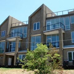
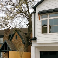
Photo: Texas Watchdog/Flickr

RELATED URBAN EDGE
Atlanta resident survey shows similar concerns Houstonians face including transportation, housing and crime
INSIGHTS :  Nov. 12, 2019

Each year, the Atlanta Regional Commission and its partners conduct the Metro Atlanta Speaks survey, similar to Houston's Kinder Houston Area Survey.

HOUSING | TRANSPORTATION
RELATED URBAN EDGE
METRO board members at a press conference
The first things to come following the $3.5 billion bond approval for METRONext
INSIGHTS :  Nov. 7, 2019

On Tuesday, voters approved the bond vote with 68% voting in favor.

TRANSPORTATION
RELATED RESEARCH
Girl walks in Gulfton
Safe Streets, Safe Communities: Walking and Biking Infrastructure in Gulfton
Mar. 20, 2019

During the summer and fall of 2018, an audit was done on the Gulfton area's streets and sidewalks and these are the results.

TRANSPORTATION | URBAN PLANNING
RELATED URBAN EDGE
METRO light rail train in Houston
Is development fueled by transit driving residents out in some areas?
RESEARCH :  Dec. 11, 2019

Extensions of light rail service in areas with easy access to Houston’s major job centers have brought residential and commercial development to those areas. Researchers at the Kinder Institute wanted to find out if and how transit investments impact patterns of gentrification in the city.

DEMOGRAPHICS | ECONOMIC DEVELOPMENT | HOUSING
RELATED RESEARCH
New Townhomes in Austin
Neighborhood Gentrification across Harris County: 1990 to 2016
Dec. 13, 2018

The inventory of affordable housing has been diminishing and this report documents where in Houston it's diminishing the fastest.

HOUSING | URBAN DISPARITY | URBAN PLANNING
RELATED RESEARCH
Re-Taking Stock: Understanding How Trends in the Housing Stock and Gentrification are connected in Houston and Harris County
Apr. 6, 2021

This report connects housing stock changes with gentrification patterns in Harris County.

HOUSING
Body
Body
Body
Mailing Address

6100 Main St. MS-208
Houston, TX 77005-1892

kinder@rice.edu
713-348-4132 

Subscribe to our e-newsletter

Physical Address

Rice University
Kraft Hall
6100 Main Street, Suite 305
Houston, TX 77005-1892

Featured Sponsor

Support the Kinder Institute