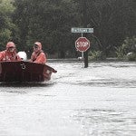
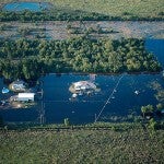
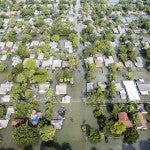
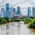
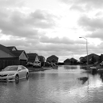
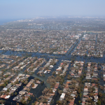
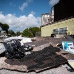
After catastrophic floods—like those after Hurricane Harvey dumped several feet of rain on the Houston area four years ago—survivors generally have two options: rebuild, perhaps with the help of flood insurance or federal reimbursement programs, or relocate, perhaps by selling a damaged home or waiting for a government buyout program. A new study has found that the route people choose might have more to do with their pre-flood plans rather than the scale of the disaster itself. This has implications for how policies are designed to encourage resiliency and managed retreat.
If urban planners could proactively and precisely identify which buildings and civil structures are less resilient to flooding, not only could interventions be better targeted and more effective, but communities could become more engaged in the process. An interactive, geospatial artificial intelligence-driven platform could be the answer.
The Kinder Institute's 2021 State of Housing in Harris County and Houston report highlights new data showing an increase in occupied housing units in the 100- and 500-year flood plains from 2018 to 2019. In Harris County, for example, about 2,000 homes were newly occupied—by either renters or homeowners—in the flood plains in 2019. Kinder researchers hope to better understand these development patterns, which can leave Houstonians vulnerable to flooding.
When Stephen Klineberg was conducting the Kinder Houston Area Survey in February 2017, he asked Houston-area residents to name the biggest problem facing the region. At the time, only 1% of participants thought flooding and storms were the most important issue.
New risk models show nearly twice as many properties are at risk from a 100-year flood today than the government's flood maps indicate. Analysis of damage from Hurricane Harvey shows Black and Hispanic residents disproportionately experienced flooding in areas beyond FEMA’s 100-year flood zones.
This report includes updates on Harvey’s long-term impact and recent findings
about the health and housing effects of the May 2019 storms and Tropical Storm Imelda.
Many families in the Houston region live in homes with flood damage, of which they may or may not be aware. These residents may face high levels of mold exposure that can lead to lung damage that puts them at a greater risk of severe complications should they become infected with the novel coronavirus.
The Greens Bayou Watershed Analysis and Resiliency Planning effort, culminated in the publication of resiliency plans for four partner neighborhoods in the Greens Bayou Watershed: East Aldine, East Houston, Eastex Jensen and Greenspoint.
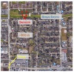
Gary Woods and team from the civil and environmental engineering department created low-cost flood sensors that were tested on Rice’s campus in spring 2019.
A Q&A with Jim Blackburn, the co-director and primary spokesperson for Rice's SSPEED Center, reveals the importance of various flood protection systems.
The City of Houston and Harris County confront a major challenge in providing multi-family housing units that are both affordable and safe from flood risk.
Texas Tribune | A report released Friday by the Texas Senate's budget-writing committee laid out past and future costs related to recovery from "the most costly disaster ever to hit the Texas coast."