This post is part of a series by the Kinder Institute for Urban Research addressing the findings of the 2021 State of Housing in Harris County and Houston report. Explore other posts in this series.
Overall, while the percentage of homes in the 500-year flood plain dropped, the total number of housing units increased slightly. This is concerning, as it runs counter to the county’s own voluntary residential buyout program, which enables homeowners to move to less flood-prone areas so that their previous homes can be torn down and the land can be returned to the flood plain.
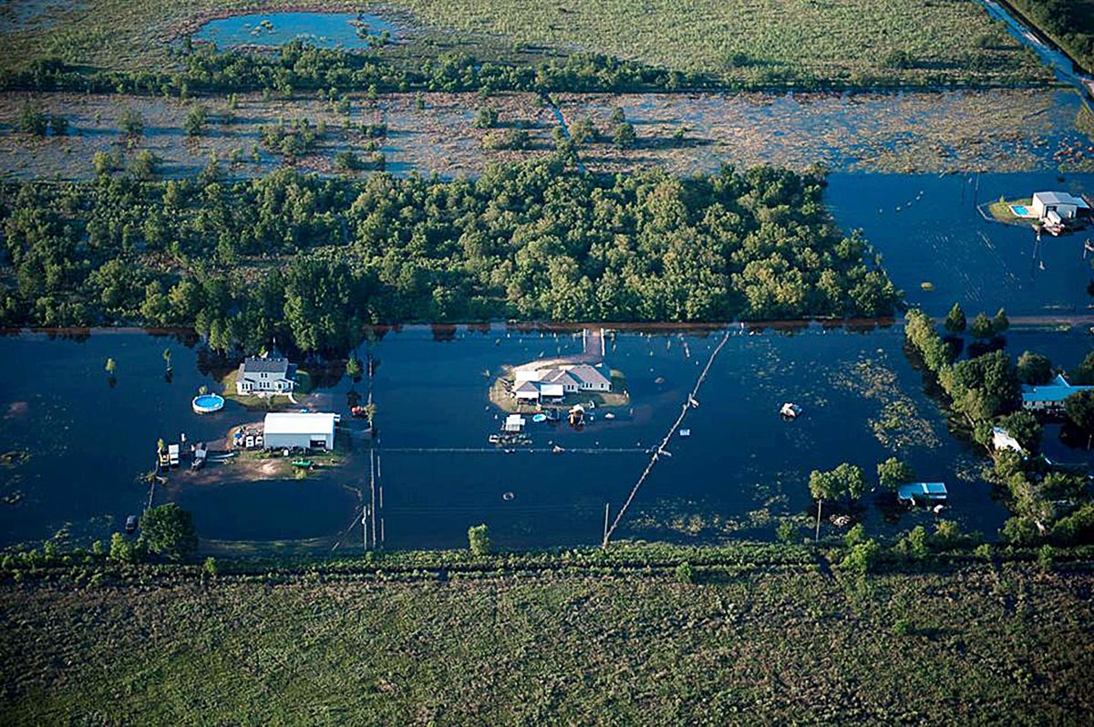
More Houstonians living in the flood plains means that more people are in harm’s way. Homes in the 100-year flood plain have a 1% chance of flooding in a given year while those in the 500-year flood plain have a 0.2% chance. To put it another way, according to the Harris County Flood Control District, if a home is in a 100-year flood plain, then it has at least a 26% chance of flooding in the span of 30 years, which is the typical time period for a home mortgage.
The threat of flooding goes beyond potential property damage, which could also strain the local tax base. It includes the likelihood of wiping out intergenerational wealth that lower-income families have built up, particularly in Black and Hispanic communities. Our estimates find that roughly 25% of the city’s total residential property value and 20% of the county’s value are located in the floodway or the 100- and 500-year flood plains.
In Harris County, the number of homes in the 100-year flood plain and floodway increased by 10% in 2019. Despite this, many Harris County properties still do not have flood insurance. For those who do have flood insurance policies, our findings show that they cover only about 25% of housing units in the flood plains countywide. The flood control district recommends that homeowners buy flood insurance, which can be purchased through local insurance agents, even if they are not required by their mortgage lender. Renters can also take advantage of flood insurance, which protects against loss of personal property such as furniture, clothing and other belongings, while rental property owners are responsible for insuring the physical structure.
At the same time, the Federal Emergency Management Agency is changing the way it calculates flood risk for its federal flood insurance policies under the National Flood Insurance Program. The program overhaul, called Risk Rating 2.0, applies to new policies starting this Oct. 1. It aims to reassess the flood risk of properties that it insures by accounting for a house’s actual flood risk and the potential cost of replacing it. Additionally, FEMA says that the new program adjustments could create a more equitable system for flood insurance rates. For instance, it could charge people in low-income communities less than those in affluent areas who have homes that are more expensive to repair or replace after a disaster.
What does this mean for our area in the Risk Rating 2.0 program’s first year? Houston Public Media recently reported on new FEMA data showing that, in Harris County, 12% of insurance policyholders could see their premiums drop by up to $100 or more per month. This is compared to 89% of insurance policyholders who could see their premiums increase by as much as $60 per month.
For the first time since 2001, Harris County is in the process of redrawing its flood plain maps. It is likely that the new 100-year flood plain boundary will expand to include the former 500-year flood plain. This means that 25% of county homeowners will likely find themselves in the growing—and more vulnerable—100-year flood plain instead of the 500-year flood plain, which could equal a five-fold increase in flood risk. It is now more important than ever for county and city officials to communicate to homeowners the importance of purchasing federal flood insurance before a disaster strikes.


