
Unless you find yourself shaded by high-rise buildings in one of Houston’s commercial centers, or happen upon one of METRO’s covered bus shelters, which make up 24 percent of the entire bus system’s stops, trees are often your best friend when a passing downpour hits the city or the temperatures rise into the upper 90s.
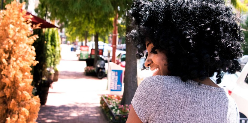
Regardless of the source, shade is especially important to those who navigate the city on foot or by public transit—whether by choice or out of necessity. The Kinder Institute team experienced this disparity firsthand during a recent sidewalk audit we conducted in Houston’s Near Northside.
Measuring Urban Tree Canopy (UTC) - A Proxy for Shade
With a shifting focus on environmental justice and climate change, urban tree canopy (UTC) inequalities have been well documented in various cities across America. Early studies utilized land cover data generated by the U.S. Geological Survey to compare urban tree distribution with measures of inequality, such as median household income and race.
Some cities, including New York and Washington, DC, have even made geolocated tree maps available to the public. More recently, MIT’s Senseable City Lab released the source code for its Treepedia tool which takes a different approach to measure UTC.
Rather than counting and geolocating street trees, Treepedia leverages Google Street View to measure street-level canopy cover at regular intervals along a given city’s street network. Each point is given a Green View Index (GVI) from 0-100 illustrating that location’s percentage of canopy cover. Beginning with a map for Cambridge, Treepedia has since published user-generated maps from cities across the globe, including Los Angeles, Paris, and Singapore.
Regardless of the source or approach to measuring and analyzing UTC, all of these maps indicate that a distinct pattern of shade inequality attributed to tree coverage does exist both between and within American cities. Does a similar pattern exist here in Houston?
Houston’s Tree Canopy
Unfortunately, neither a Treepedia map nor a geolocated tree inventory map yet exists for the City of Houston. However, the Houston-Galveston Area Council (H-GAC) has made available the Urban Forest GIS Tool which leverages satellite imagery from 2015 and sample data to estimate tree canopy coverage across the Houston Metro Area.
Although the data is not perfect and further analysis would need to be conducted, the map below does indeed show that, at least at a high level, Houston’s tree coverage is not evenly distributed across the city. Neighborhoods around downtown and points south and east have noticeably less tree dense than neighborhoods in the western and northern portions of the city.
How did this come to be?
A History of Tree Removal in American Cities
The Houston region is growing rapidly and has been for the last few decades. As one would expect with rapid population growth, forests are cleared to make room for new development—often to the chagrin of nearby residents. Beyond development though are there are other reasons for this pattern of inequality?
Further historical research would need to be conducted to fully understand the evolution of Houston’s urban tree canopy. However, we can turn to other cities to get a general sense of the history of tree removal and deforestation in America.
Whether to address traffic safety concerns, to comply with the Americans with Disabilities Act, or, more perversely, to deter crime in targeted neighborhoods, tree removal is not uncommon in the United States.
Wealth inequality is another often-cited reason for the disparity.
Take Los Angeles for example. Sam Bloch, in his article on shade disparity in Los Angeles, illustrates this storyline well in recounting the history of one of LA’s most iconic trees: its ubiquitous palm tree.
Equating it to a weed that can grow anywhere, Bloch notes that while the city took charge of the initial planting and ongoing maintenance of the trees, the program ran out of money by the 1930s.
Without funding, the city instead relied upon nearby property owners to help maintain the trees guaranteeing that the palms in wealthier neighborhoods would fare far better than those in poorer neighborhoods. As a result, today, LA’s palm-lined boulevards closely follow the city’s wealth divide.
In Houston, the city’s most iconic tree, the Live Oak, is not as widely-known as LA’s palm. However, its ubiquitousness in the city is no less evident. Even more so, its presence is noticeably more apparent in wealthier neighborhoods that have historically had the means to foster its growth.
Walking amongst the Live Oaks that surround the neighborhoods at Rice University stands in stark contrast to the noticeably sparse trees one might come across in a neighborhood like Near Northside.
Correcting the Shade Imbalance
Whatever the source of the imbalance, urban trees and forests provide several benefits beyond shade that officials should consider in promoting planting and urban restoration programs.
For example, according to the Texas A&M Forest Service and the Environmental Protection Agency (EPA), increased tree coverage has been linked to reduced residential energy costs, improved mitigation of surface water runoff, and healthier air quality. In Dallas, the presence of trees has shown to help combat the urban heat island effect.
For some, trees are also crucial to healthy physical, mental, and social well-being. The presence of trees can even promote exercise and outdoor activity, reduce stress and other mental health issues, and improve overall happiness.
Neighborhoods with significantly fewer trees, which in the U.S. includes mostly lower-income or minority neighborhoods, do not enjoy any of these benefits—a detriment to their health and well-being.
Fortunately, many local advocacy organizations, including Trees for Houston, the Houston Area Urban Forests project, and even the Harris County Flood Control District, are actively working to raise awareness around these issues and address the imbalance that disproportionately impacts the less well off.
Collectively, whether as local officials, urban planners, developers or everyday Houstonians, we must consider shade less as an amenity that only money can buy and more as a public resource shared equally by all.