
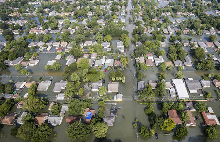
The project team developed and implemented a radar-based flood alert system as a flood mitigation tool for the City of Houston and to inform infrastructure risk modeling, focusing on White Oak Bayou. The proposed system aimed to provide real-time visualizations of critical locations and/or inundated areas during storm events. It’s intended to alert the public in real time as a flood event unfolds and to provide better information pre-event on potential roadways that might become inundated and the challenges this poses for emergency response.
Small-Scale Applications of Distributed Hydrologic Model Vflo® to Characterize Impacts from Mitigation Projects and Site-scale Re-development on Street-Level Flooding
This report uses hydrological modeling to assess if mitigation techniques used throughout the city were successful.