
This post was originally published on the Rivard Report.
San Antonio is changing. Just a few years ago the city saw the odd infill project here and there among the rehabs of historic homes in King William or Monte Vista.
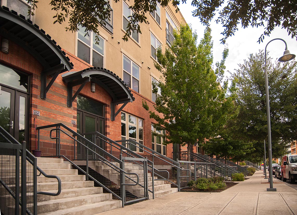
These days, infill projects are everywhere in the collar neighborhoods – the ring of historic streetcar suburbs around downtown. Lavaca, Dignowity Hill, and Tobin Hill have experienced the greatest price-point pressure, but it’s ubiquitous – Mahncke Park, Beacon Hill, Government Hill, River Road, Lone Star, Westfort, Roosevelt, and Alta Vista are feeling the surge as well. We are even seeing change in places like Denver Heights, Olmos Park Terrace, and the Concepción neighborhood south of Highway 90.
This pressure/economic opportunity will only continue to grow. I believe it will expand in the midterm to encompass the near-Westside, Shearer Hills, and the midcentury suburbs straddling Loop 410 on the Northside. It will also expand further south. With our population expected to increase by 1 million people over the next quarter-century and a renewed interest in living the good life in non-auto-dependent, economically integrated neighborhoods, these pressures will continue to mount.
I grew up in King William back in the 70s when its future as a neighborhood was uncertain. My parents, who restored several historic houses and fought institutional and industrial intrusion, taught me the power of preservation. I’ve now spent a lifetime in the collar neighborhoods fixing up houses myself and working as an architect, a planner, and more recently, a housing commissioner.
Over the last few years, the sense of purpose and nobility in that work has become increasingly tarnished by battles over infill. It’s getting ugly out there. Every week there are neighbors pit-fighting with each other, and infill developers are doing the same at Historic and Design Review Commission, Zoning Commission, and City Council meetings. The developers are frustrated, neighbors are fearful and uncertain, and regulatory folks and designers are exasperated. This is not healthy and it’s wearing us all out.
Why is this?
There is a disconnect between our desire for walkable traditional neighborhoods and what our development code was designed to accommodate. The Unified Development Code, the massive tome that governs everything that is built in San Antonio, is at its core a 1950s suburban development-focused code that has wrought sprawl and economic segregation on a huge scale. It separates buildings by land use and glorifies cars and big yards.
Over the years, so many patches have been sewn onto this Frankenstein’s monster in an attempt to make it keep pace with the times that it is virtually impossible to understand without a great deal of study and experience or a land use attorney on retainer.
Anything other than development of new housing subdivisions or strip malls on previously undeveloped land at the city’s edge is likely to result in a fight of some kind.
Last year, City Council adopted an incredibly progressive long-range Comprehensive Plan. Sensitive infill development which accomplishes the goals of this plan face an unclear regulatory path because we have not yet decided as a city what is appropriate and what is inappropriate for any given site. Neighbors don’t know what’s coming and developers don’t know what they are going to be able to build.
Since the code is so inimical to the traditional urban and first-ring suburban forms we desire, we have developed a few workarounds over the years. These are overlay districts that either modify or impose additional requirements on the base zoning district. There are more, but below are the most common.
Neighborhood Conservation Districts (NCDs)
These have been developed over time on a case-by-case basis for neighborhoods that either choose not to pursue or are not eligible for historic designation. These divergent, frequently inconsistent, and often not useful objective standards modify aspects of the underlying zoning such as setbacks, building massing, and location of entrances and parking. The more recently drafted NCDs – like the one serving Mahncke Park – get an “A” for effort, but the older ones such as the one serving Southtown is sometimes more of an impediment than an asset for sensitive infill. Conflict often arises over misinterpretation or perceived lack of enforcement of these standards.
Historic Designation
This is a broad category of overlays which include historic districts, landmarks, World Heritage, downtown, and the river. The Office of Historic Preservation reviews projects in these areas under a set of subjective guidelines, rather than objective standards, and offers a set of recommendations. The guidelines for each type of district are robust and can cover anything from building massing, to allowable fencing type, landscape material, and window proportion. The underlying zoning standards apply in these districts. The Historic and Design Review Commission considers City staff recommendations in public hearings with citizens to be heard portions – And do they make themselves heard! The commission meetings are often beset by titanic clashes between neighborhoods and developers.
Infill Development Zone (IDZ)
This can be an overlay or a base designation – “choose your own zoning,” essentially. It can be applied a number of ways, but it’s usually implemented to reduce setbacks, parking requirements, lot size, or increase the number of units allowed on a site. This is a very powerful tool. When wielded by a good designer, it can be used to achieve incredibly sensitive results. Alas, it can also wreak havoc in the wrong hands. I had the good fortune of working on the first major IDZ plan: Victoria Commons. Back then I thought it would be the solution to all of our infill problems. I have been proven wrong by a number of developments that have used the flexibility of the tool to do projects that are less cognizant of their context than they could have been. The IDZ designation has changed a number of times over the years, becoming either more or less restrictive. I understand that it is currently under review again at the request of District 1 Councilman Roberto Treviño.
In order to have access to any of the UDC workarounds listed above, neighborhoods and/or developers have to rezone individual properties or whole areas of town. Rezoning is the mother of all municipal warfare. This is where the nastiest battles happen because it is a public process where both parties may attempt to influence the outcome through interaction with commissioners and politicians. How much time do council members spend mediating zoning conflicts during their term versus working on meaningful public policy issues, I wonder?
Now what do we do with this mess? How do we fix it? How do we build some predictability into this system? I believe it is time for a new paradigm that supports our Comprehensive Plan. I believe it is time to relegate the UDC to the annals of history and build a modern code: a simple blend of use and form-based standards that are calibrated on a neighborhood-by-neighborhood basis. Other cities have done this to remarkable effect, the most notable being Portland, Ore.’s Infill Project.
How do we achieve this? We start by having a conversation. We are never all going to agree on whether our next-door neighbor should have a one- or three-story home, but I believe that broad consensus is possible if we go about the exercise in an honest and deliberative fashion. And we’re going to do just that.
On Aug. 26, in conjunction with the Historic Homeowner Fair, the Office of Historic Preservation, the King William Association, and my firm, Alamo Architects, are sponsoring an infill development workshop featuring a panel discussion and several challenging infill case studies to consider. Details will be released as soon as they are finalized. Our hope is that this workshop will be the first step in developing an updated set of site massing guidelines for use by the Office of Historic Preservation. We have been collaborating with the Planning and Zoning teams, and my hope is that the work we do for the historic infill guidelines will serve as the foundation for the next generation of the development code.
We expect a lively and productive afternoon with developers, representatives from most of the collar neighborhoods, designers, and regulatory folks. I hope you’ll join the conversation.
*Jim Bailey is an architect and associate principal at Alamo Architects. He is an inner-city guy, planner, and smart growth proponent. He currently sits on the San Antonio Housing Commission that is charged with exploring issues such as economic segregation, gentrification, and equitable housing.