
Houston's devastating weather this week is being called the worst flooding since Tropical Storm Allison in 2001. Some areas, including Meyerland and Greenspoint, were hit especially hard. Severals parts of the region experienced more than 15 inches of rain in less than 24 hours, according to county flood district gauges.
While gauges, cameras, and radar and help measure the weather, many Houstonians are using a relative new tool -- drones -- to help explore the extent of the damage. Below are some of the most striking videos caught by drones of the flooding across the Houston region this week.
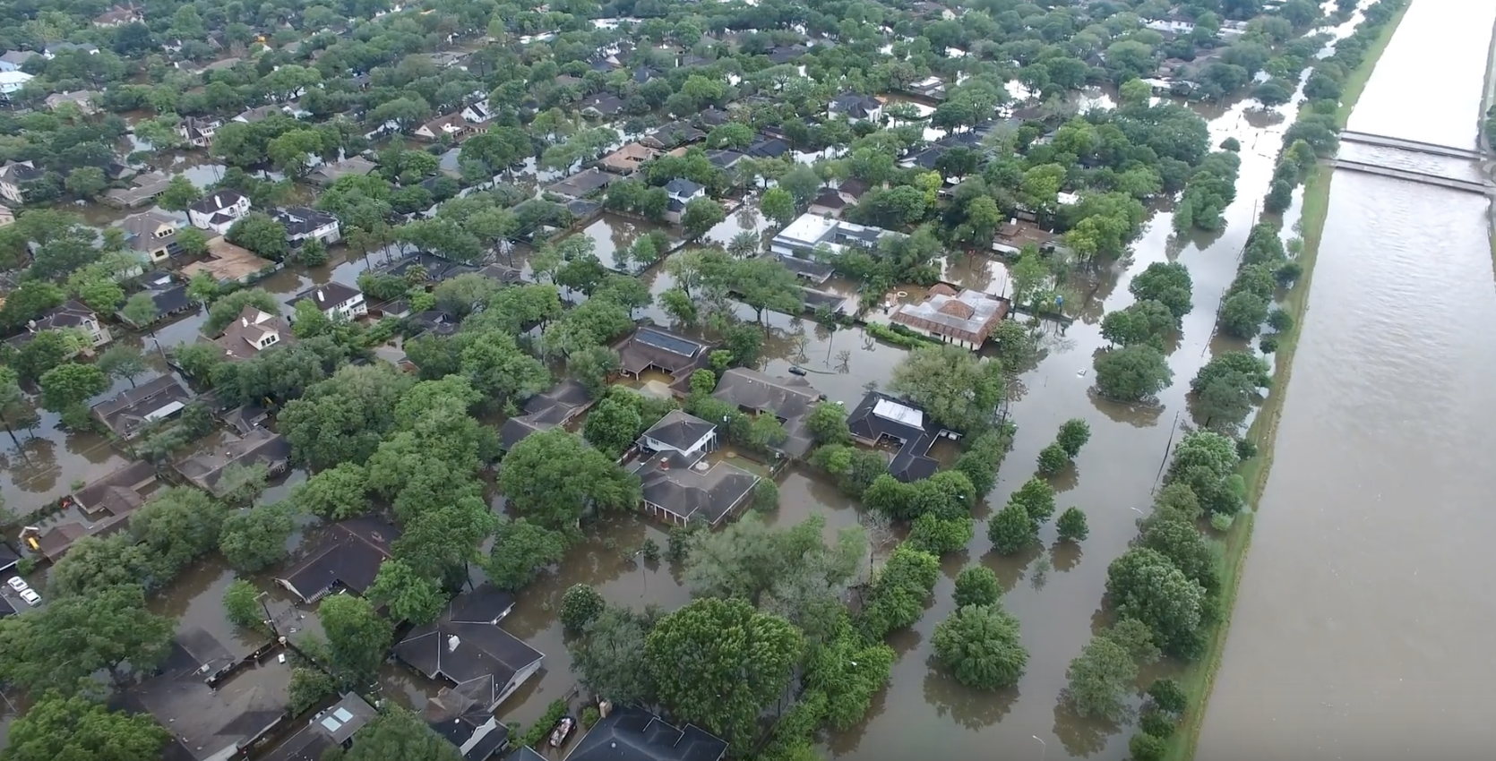
Mark Katz’s high-resolution footage captures flooding in around Meyerland in the southwest portion of the city. His images — set to depressing yet tranquil music — do more than perhaps any other footage to show just how extensive the damage is to that community.
The footage, taken near the Cypress Creek/Willowbrook area in northwest Houston, captures flooding in the region Tuesday, April 19 — well after the heavy rain from Sunday night and early Morning had stopped. It captures flooding at Perry’s, a popular steakhouse in the area; water in Cypress Commons, an apartment complex; and seemingly hundreds of cars that will likely be totaled or require extensive repairs.
The drone footage, shot in the central Houston on Monday, April 18, shows the massive rise in the water level of Buffalo Bayou, shortly after the rain stopped. The fast-moving water nearly reaches some tree tops. Curiously, it also shows plenty of Houstonians driving along nearby streets, despite the warnings of local officials.
GABRIEL VALECILLOS | Cypress Creek
The footage of the Norchester neighborhood, near Cypress Creek in northwest Houston, shows kayakers making their way through the water. Cars are almost fully submerged, and it's impossible tell where waterways end and the roads begin.
The parks and trails along Mayde Creek in West Houston are fully submerged, as some confused kids take in the scene.