
More than two years ago, Hurricane Harvey made landfall and slowly circled around the greater Houston area for five days. The storm resulted in the largest amount of rainfall ever recorded in the United States. While for many it took only a short time to return to normal, for others the tragedy continues to unfold behind the closed doors of flooded homes. Harvey, followed by Imelda, is evidence of a new climate normal. In the wake of this new normal, we must begin to define and build towards greater resilience—not just in preparation for the next disaster, but for all of our families and communities every day.
The Greens Bayou Watershed Analysis and Resiliency Planning effort, funded through a Greater Houston Flood Mitigation Consortium grant, brought together researchers and practitioners from the Community Design Resource Center at the University of Houston and Rice University’s Kinder Institute for Urban Research and Severe Storm Prediction, Education, & Evacuation from Disasters Center. The project culminated in the publication of resiliency plans for four partner neighborhoods in the Greens Bayou Watershed: East Aldine, East Houston, Eastex Jensen and Greenspoint.
The project focused on communities within the Greens Bayou Watershed, which includes both Greens and Halls Bayous. There has been far less analysis or investment in the watershed over the decades even while it is the second most populous watershed following only Brays, and recorded the second-highest number of flooded structures during Harvey. Buffalo and Brays Watersheds, comparatively, have been the subject of extensive studies, and have benefitted from numerous flood mitigation and control projects.
This inequity is largely due to the federal cost-benefit formula that regulates flood mitigation project funding. The federal formula requires that mitigation projects yield a positive economic return, a bar that is hard to meet in areas with lower property values. The formula, as noted by GHFMC, “privileges economics over human safety, defining a family displaced from a $1,000,000 home as being ten times as valuable as a family displaced from a $100,000 home.”
Working across disciplines, researchers identified and analyzed opportunities, vulnerabilities and risks from the scale of the watershed, to the community and to the family. Connecting people and place uncovers the complexity of challenges related to flooding and climate, mobility and housing, equity and inclusion, economy and infrastructure and health and safety, and provides the tools necessary to address these issues holistically.
From this work, strategies were developed in collaboration with leaders and summarized in each plan. The strategies are both big and small, short term and long term and either universal or specific to a place.
In times of disaster, key strategies include ensuring access to information and services needed to stay safe, for example through a flood warning system; the development of community-based emergency response teams that could act quickly and locally; and designated shelters on “lily-pads”, which are areas safe from flooding.
In periods of recovery, strategies focus on reducing future risks by engaging in comprehensive planning at the community-scale to accurately map floodplains, designate buyout areas and plan for re-use of these areas, while also incentivizing development in areas that are safe from flooding and preserving existing open spaces.
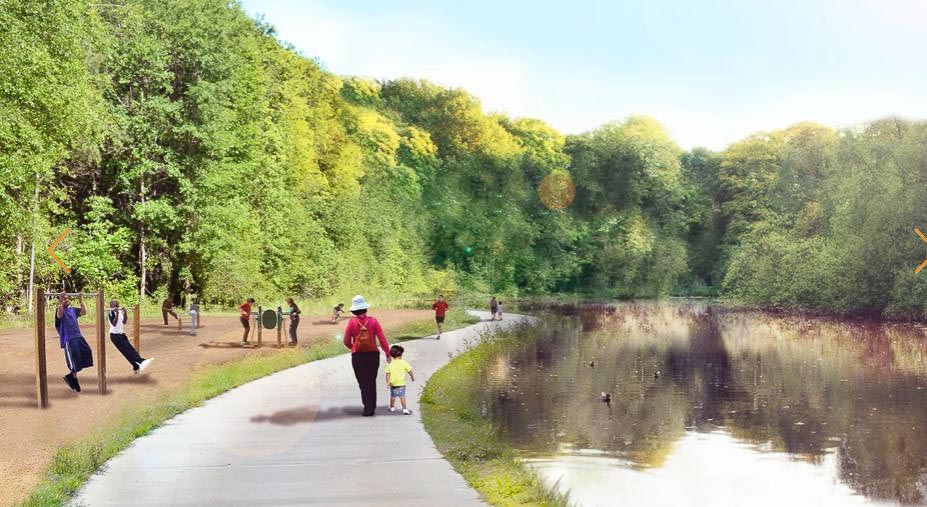
Finally, in normal times, strategies focus on connecting people to basic necessities such as transit, affordable housing, green spaces, healthy food, jobs and quality schools while also ensuring that each family has accurate information to evaluate future flood risks.
The resiliency plans sought to uncover and address inequities, vulnerabilities and barriers that face families and communities on a daily basis, while also impacting the ability to recover from a disaster and building on the assets and strengths in the neighborhoods. Protecting and sustaining our most vulnerable families and communities, including those who are linguistically isolated, struggle with poverty or lack mobility, requires more than physical infrastructure. It requires investment in the social infrastructure that builds trust and civic life. Social cohesion is one of the most important indicators of resilience. Communities that are resilient prior to a disaster are much more capable of recovering afterward.
In the end, this means that we must invest in our families and communities, democratize access to information, knowledge and decision-making, and address inequities across scales and in both public and private investment.
Susan Rogers is an Associate Professor in the Hines College of Architecture and Design at the University of Houston. She is also the director of the Community Design Resource Center. Katherine Polkinghorne will receive a B.S. in Environmental Design and B.A. in Philosophy from the University of Houston in December 2020. She is currently a research assistant at the Community Design Resource Center.